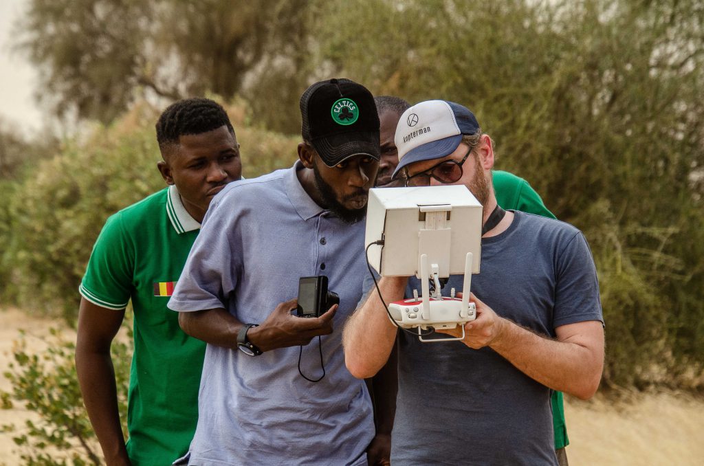
Drone mapping
The sites of Mbar Toubab 200ha (forest of Arne and Kiana) and 500ha as well as the new sites in Téssékéré to be reforested in 2022 (2 x 650 ha), are mapped with the help of a drone in order to be able to do automatic counts of trees later with specially developed software.
[image src=”/assets/Uploads/Untitled-1-v3.jpg” id=”1183″ width=”300″ height=”169″ class=”left ss-htmleditorfield-file image”]The advantages of working with a drone are numerous. A better detailed image (1 pixel = 10cm compared to 1 pixel = 1 meter with ordinary GoogleMaps images); ex. 500ha is scanned with a drone in half a day, giving us topographical data. Much quicker than doing this work manually.
An infrared camera is also used to measure biomass and infrared shift to measure above-ground CO2 capture (test).
At the same time, this system also offers the possibility for donors and investors to check the work that OZG is doing on the site.
Special thanks to Seppe Koop of Argus Vision